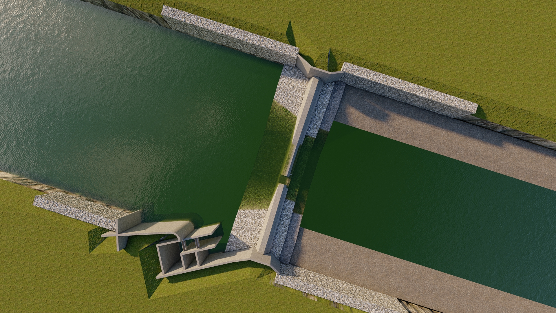
Overview
Client / Funding Partner: Various Government Entities (Ministry of Water Supply, Irrigation and Energy; Irrigation Development Divisions; Water Resources and Irrigation Development Division Offices; Municipalities and Rural Municipalities) Location: Baglung, Kapilvastu, Kalikot, Myagdi, Tehrathum, Ramechhap, Taplejung, Kanchanpur, and Kailali Districts, Nepal Combined Scale: Over 3,360+ Hectares of Irrigable Command Area Across 10 Major Assignments / Schemes Total Consulting Service Value: NRs. 5.54 Million+
Executive Summary & Combined Scope of Work
Niyatra Consult Pvt. Ltd. has executed comprehensive engineering surveys, feasibility studies, technical designs, socio-economic appraisals, and Detailed Project Reports (DPR) for irrigation and water resource management systems across diverse geographic terrains in Nepal. The portfolio covers gravity-fed canal systems, river diversion headworks, solar/electric lift irrigation systems, pipe conveyance networks, and branch canal networks under national strategic programs.
The combined scope spans the complete engineering lifecycle from initial command area identification to final tender-ready documentation, delivering sustainable, climate-resilient, and community-driven agricultural water infrastructure.
Key Activities Performed Across Projects
-
Topographical Survey & Alignment Design:
-
Conducted preliminary and detailed topographical surveys using Total Station and GPS instruments across plain, hilly, and mountain terrains.
-
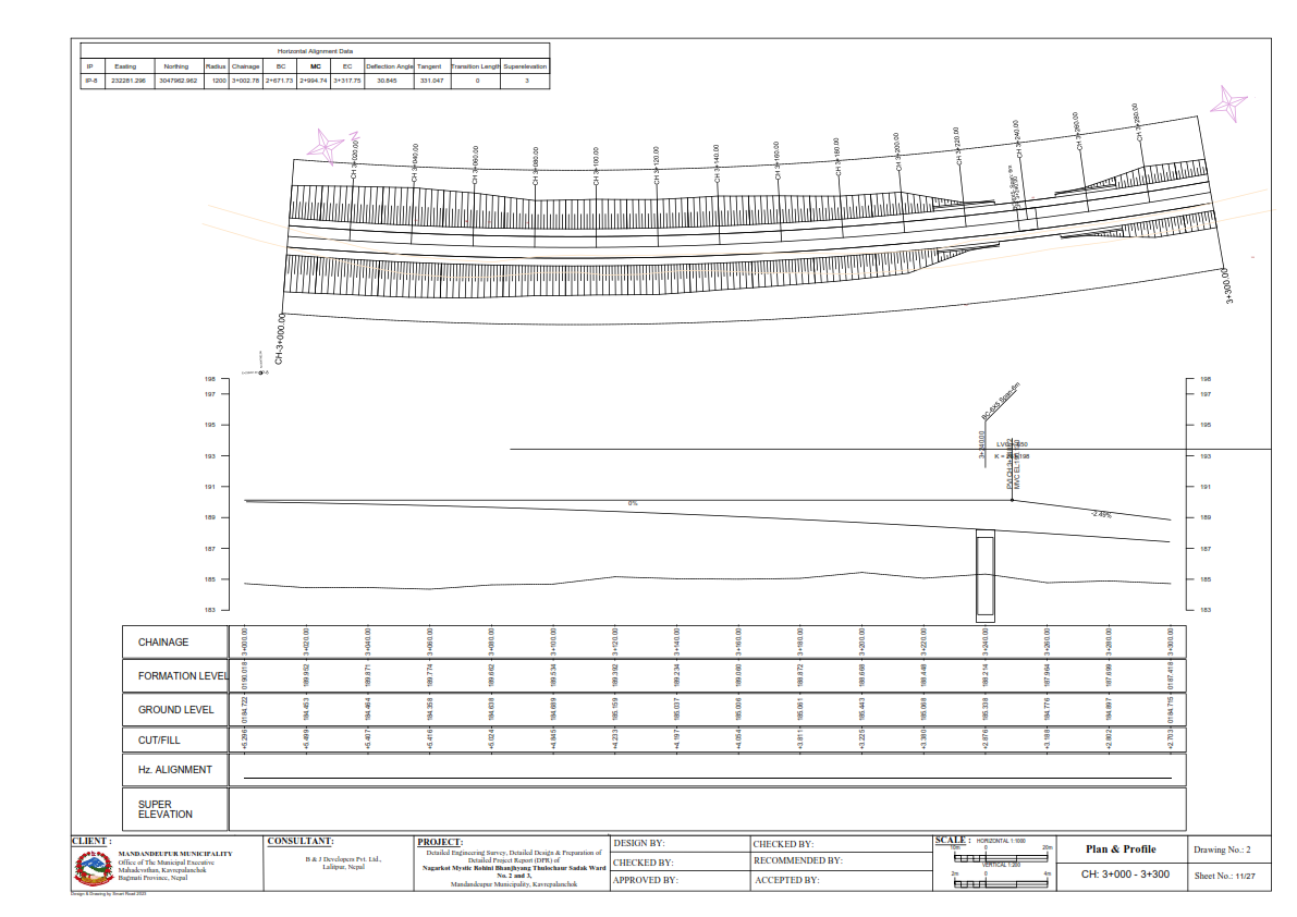
Formulated horizontal and vertical geometric canal alignments, longitudinal profiles, and cross-sections for main, secondary, and tertiary canal networks.
-
Delineated command areas and optimized headworks/intake, sump well, and reservoir site selections.
-
-
Hydrological Modeling & Hydraulic Engineering:
-
Processed hydro-meteorological data, stream flow characteristics, and catchment runoff to evaluate dependable discharge.
-
Executed crop water requirement (CWR), irrigation duty, cropping pattern, and water balance calculations for year-round supply reliability.
-
Designed headworks, intake structures, side intakes, sump wells, rising mains, reservoir tanks (RVT), and distribution mains.
-
Planned and designed cross-drainage, road crossings, conveyance pipes, HDPE canals, pipe chambers, and structural protection works (such as RRM and gabion walls).
-
Utilized specialized design software (including SW Canal V2 Professional) for hydraulic sizing.
-
-
Geotechnical, Environmental & Socio-Economic Assessments:
-
Performed site geology and hazard evaluations to identify vulnerable zones and propose slope stabilization/mitigation measures.
-
Conducted socio-economic baseline studies, agro-economic analysis, and stakeholder/Water Users Association (WUA) consultations.
-
Evaluated environmental vulnerabilities and institutional sustainability to support long-term system maintenance.
-
-
Economic Evaluation & Procurement Preparation:
-
Performed economic appraisals and sensitivity analyses to establish project feasibility.
-
Formulated implementation schedules tailored to office capacity, WUA contribution capabilities, and budget availability.
-
Prepared detailed rate analyses based on approved district rates, itemized Bills of Quantities (BoQ), engineer’s estimates, AutoCAD structural/hydraulic drawings, and DPR documentation.
-
List of Irrigation Projects
-
Dichchhe Kholti Khet Irrigation Project — 32 HA
-
LamtiyaBadh Irrigation Project — 192 HA
-
Gadhaghat Irrigation Project, Chairai Khola — 256 HA
-
Bagada Kaba & Bhaisisen Mayajuila Water Lift Irrigation Projects — 41 HA (10 HA + 31 HA)
-
Myagdi Cluster Irrigation Projects (Chemwang Deurali, Mahakhola, Jhakripani) — 40 HA (15 HA + 10 HA + 15 HA)
-
Pinguwa Gurdum Kande Irrigation Sub-Project — 30 HA
-
Dandakharka Lift Irrigation Sub-Project — 60 HA
-
Hardeni Irrigation Sub-Project — 6 HA
-
Siwakhola Salle Muhan Khewang Pedang Irrigation Sub-Project — 400 HA
-
Tanakpur Main Canal Branch Canals (Ch. 28+800 to Ch. 48+262) — 2,352 HA